Internal Development Good or Bad

20_Type9Target
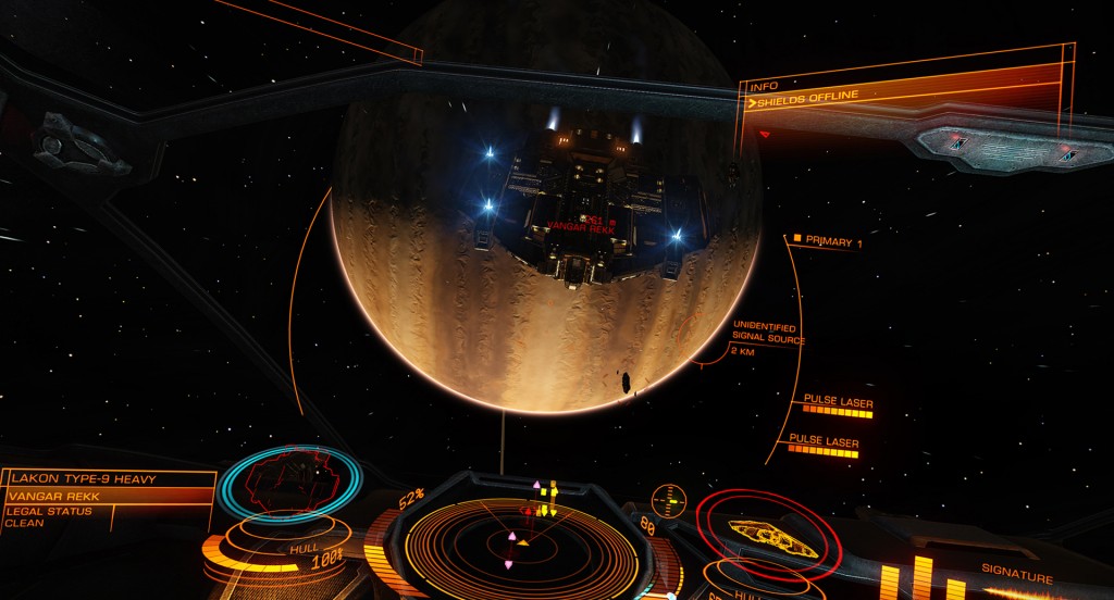
Elite Dangerous from Frontier Developments an example of a game built on internally developed game engine – and they are seriously kicking ass as a result.

It is tempting having been burnt with IT projects to say right that’s it I don’t trust consultants anymore I’m going to try and do everything by myself we cannot trust outside companies with our valuable processes – we are after all primarily purely a process company and our processes are golden to us. I must admit I have had periods of my working life where I have been sympathetic to this view. I have found Internally developed systems great because – they motivate internal teams, they increase knowledge of systems design, they can be completely market leading, they can be incredibly flexible and reactive, they really engender responsibility and accountability, they can be very incremental and adaptable and certain individuals can develop systems often using existing IT infrastructure for solely labour costs. (Why employ capable people if you don’t want to use them?)

Against this there are some fairly big black marks which for some are insurmountable.
They tend to be very person dependent with a lot of power resting with certain individuals
Often those individuals are not necessarily chosen by management and often management really don’t like this.
People move on
Most systems will take a year to at least get up and running and sometimes solutions are needed quicker than this.

As a result I would always suggest a mixed strategy of allowing talented individuals to develop those areas for which there are no good products on the market while encouraging buy in of good tools and good products where tools and products do exist. It really should not be an either or and going down solely down either path could lead to problems. It is of course rare to go solely down the all internal route but I am aware of companies only going down the externally produced route.

But be aware even if you are going down the open source and internal development path – be prepared to invest. Buy good IDEs – don’t skimp on database support. Hire consultants (but please give them focused tasks non delivery of results from consultants is often because they’ve been hired without any real idea of what is required of them) Buy products because they look interesting. Financially support open source projects that are actively contributing – not because your liberal with your money but because value is value chances are you can still choose a cheaper path that benefits you and the providers by not leaving yourself open to the kind of consultancy that costs but does not provide. Most of all its your chance to buy in and vote on the future of your software. Open source providers will sit up and notice pay attention and give real weight to your requests.

Be warned though this kind of imagination and vision requires allowing good visibility and control across large parts of the network something that seems to contradict the general trend towards tighter formal security (at least where I work). I would argue however that tighter security often leads to loss of accountability and responsility (a lack of people who can track through all the programs of an issue) resulting in people and especially management being completely blind sided by problems and counter intuitively greater risk of negilgence and greater opportunity for fraud. [Financial Crisis and the Accounting profession anyone?]

I would add that if you really want to be world class you are going to have to take control of your software.

QGIS – Free GREAT Digital Mapping Software

windglobe A map showing winds over the Atlantic

Looking for a desktop digital mapping package? You really need to check out QGIS it is an absolutely excellent open source geographical information system. At the time of writing the latest version was QGIS 2.4 – the below tips were taken from research into windows version of QGIS 2.2

Full program available here.
Link to www.qgis.org site (English)

Tip : Navigation – Magnification – Plus or Minus mangifier Icons or wheel scroll
Tip : Navigation – Scroll – cursor keys or alternatively the hand icon or hold down the space bar and movement of the mouse when pointer is in the map window.
Tip : Projection – CRS stands for Coordinate Referencing System – lots of different ways of showing what is essentially the surface of a sphere on a flat surface – and more generally referred to as map projection – you will remember from geography. For most UK maps the coordinates are often in Ordnance Survey UK Grid therefore you want the properties of Coordinate Referencing System of the project to be OSGB and you want the coordinate referencing system of the individual layers to be OSGB as well. Once this is done the scaling will be correct and so will the measurement tools.
Tip : View / Panel – allows you to switch on and off menus – very good and very powerful
Tip : Graphical Record selection – Icon in the middle of the toolbar that has a number of differing options – it’s a drop down that allows different things for selection.
Tip : Attribute Record selection – Icon in the middle of the toolbar that allows for table attribute selection. Shows the table and this can be sorted properly.
Tip : Deselect Records – can individually de-select using the keyboard alternatively you can also use the de-select icon in the middle of the top of the screen.
Tip : Browser – brilliant for navigating through the directory and seems a lot quicker than going through the pop up individual menus on the left – for me anyway – additionally you can add an additional browser layer and transfer things between directories. It is an excellent alternative to the file dialogue manager.
Tip : View / Decorations – You can add things like scale bar and copyright to the map window here – very intuitive and nice finishing touch to your projects.
Tip : Labelling – Make scale dependent – highlight the layer you are interested in and right click. Now select the Labels option and within the Size section change the drop down from points to map units.
Tip : Labelling – Threshold the labelling – right click on layer and then go to the Rendering section and select scale based visibilty and adjust accordingly.

Above interpreted from the QGIS manual see:
Link to PDF version of QGIS v2.2 manual

In the beginning

UPDATE January 2021
Yes its still here and I still seem to be sporadically writing. Decided that I wanted to change the name to something more representative of what the site is about. So henceforth it is Cloudy DATA blog.

April 2014
This was my first post on 27 April 2014 as I write this I am about a month away from its 7th birthday.

The Economics of Immortality

Its 2021 and I originall wrote this article back in 2014 – It sounded on a reread just plain wrong so.

I still maintain that programs should be in some way immortal and maybe wordpress is a case in point. I’ve updated and changed my blog and it runs today better than it ever did. Yes wordpress may change and there is a requirement that it should be updated but how long could it be maintained without maintenance.. Quite probably for a time close to forever.