For this you will need to have a version of Postgres Database engine installed and running and you will need to have created a database which has the PostGis extension installed.
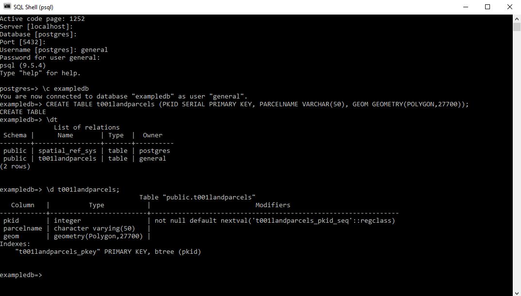
Open psql
Login to the database you wish to create the table in
type the following
CREATE TABLE t001landparcels (PKID SERIAL PRIMARY KEY, PARCELNAME VARCHAR(50), GEOM GEOMETRY(POLYGON,27700));
Here I do this and then check on the tables with the \dt command before inspecting the columns itself using the \d command.
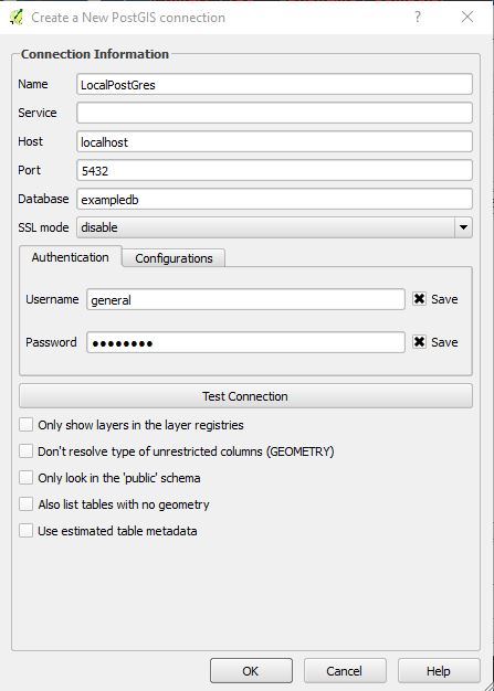
and here I open up QGIS and link to my local postgres instance and the exampledb database;

and here I connect to it and draw a polygon. If you are wondering where it is this is InchKeith in the Firth of Forth and island very visible from George Street in Edinburgh. If you have flown into Edinburgh you will have flown almost over it.
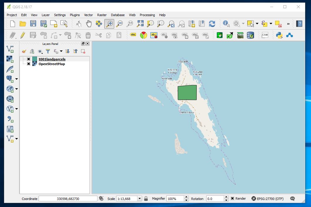
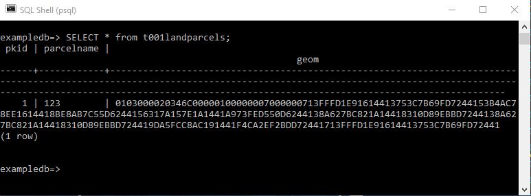
and here after having digitised a single polygon I look at the contents of the table
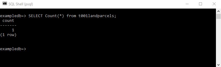
SELECT count(*) FROM t001landparcels;
Produces the more helpful count of records in the table.