The following is a workflow that can be used to get a raster base map of anything into QGIS which you then reference to Open Street Map Layers ready for digitising against. This will be useful for approximate digitising of masterplans and approximate digitisation of housing completions.
Firstly ensure you have dowloaded QGIS and added the following two plugins
OpenLayers Plugin

Georeferencer GDAL
 Plugin
Opening QGIS now lets add the the Open Street Map Raster
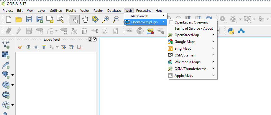
From a blank project selection of Open Street Map should give you the following result

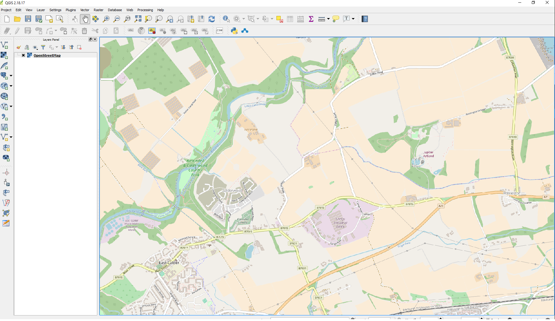
Now zoom to the approximate location where you wish to have a unique basemap. You will be referencing points on this map to points on your imported raster so you should zoom into a location to the extent that you can identify common locations between the two maps.
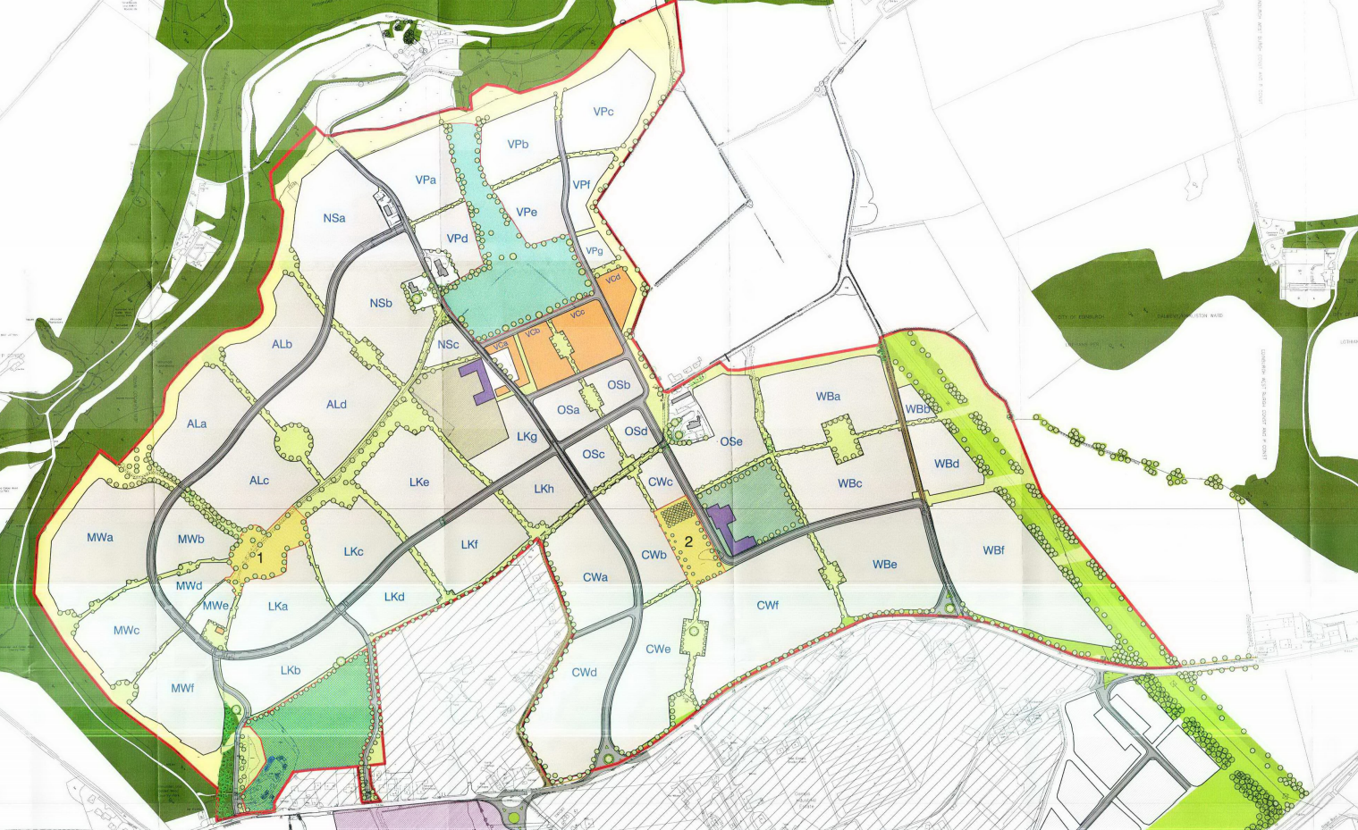
Identify the basemap you wish to have in your particular QGIS map here I choose freely available masterplan from Calderwood development in West Lothian from planning application 0524/P/09
Within the menus navigate to
Raster / Georeferencer /
You should be presented with the following window.
Hit the add raster button in the top left

Select the basemap you wish to add to your project and ensure that the coordinate system that you choose is OSGB 1936 / British National Grid

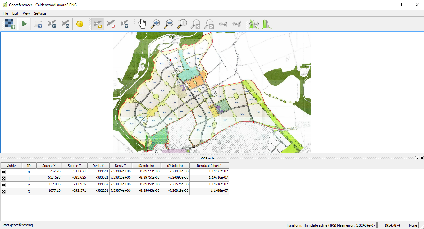
Next you want to add reference points to the basemap that will allow for you to put the basemap against it – This is done using the button marked

Next hit the settings button

You should now be presented with the Transformation parameters windows dialog as follows.
The dialog will remember old parameters if not ensure that you have the same selections (with your own selection of output raster location) as mine.
![]()
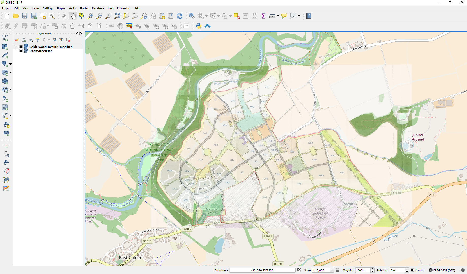
Now hit the play button the raster will be added to your map and the georeferencer will be reduced and moved to the bottom left of the corner where you will be open it and reduce it in size if you wish. You can now go in and alter the transparency so that it is possible to see both Open Street Map and your newly added raster
You should now be presented with something like the following – if there are red dots on the screen this is because you have not closed georeferencer down – simply open the window up again and hit file close.